

http://www.darkstars.co.uk/downloads/vi ... europa.sd7
There are no teams. Tanks cant move over rivers, only Kbots.
Every player has 1 big metall spot and 1-2 small metall spots.
Moderator: Moderators


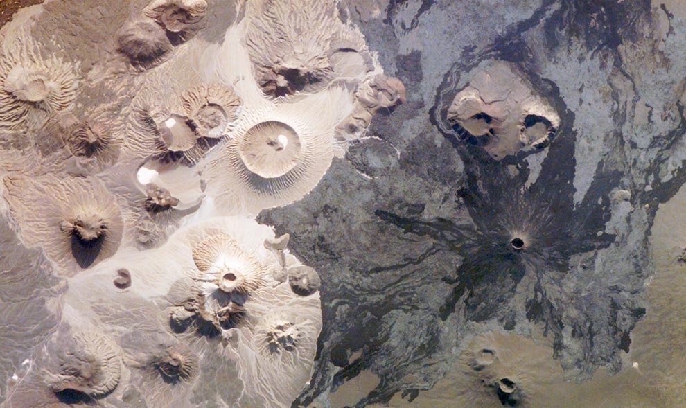
Actually, sometimes satellite imagery works surprisingly well. Victoria Crater comes to mind, being based on an image taken by the Mars Reconnaissance Orbiter. Mars in general do have some stunning geographical features documented with height data and all which would be superb Spring maps I think. There are some quite fascinating canyon complexes among other things: http://en.wikipedia.org/wiki/Hebes_Chasma with image here: http://home-1.worldonline.nl/~veenen/te ... ars50.html. (water in image added by Terragen image generation).Forboding Angel wrote:No offense intended, but please stop using satellite imagery for maps. It fails for many reasons. Also, your heightmap is utterly not awesome.
thought of this when i spotted:IllvilJa wrote: Actually, sometimes satellite imagery works surprisingly well.


Now that you mention it, it does somehow look like it. Awesome: Diplomacy TA, DTAthesleepless wrote:is it just me or is that the exact map from diplomacy?


