So I'm working on a map. My largest yet. I *just* finished the preliminary layout and heightmap. Next step will be to add detail to the texture map, such as roads and paths, then work out metal layout and then add features. I want to add a couple of small villages in key locations for tactical importance.
The map is based in Italy's rocky foothills along the roads to Rome, which the Allies had to contend with (bitterly) in mid-late 1943. The Allies, made up of American troops in the West and British in the East (along with Canadians, Free French, Poles, South Africans, Australians, New Zealenders, Indians, and a host of almost 30 different nationalities), struggled to gain every inch in the treacherous terrain, which was well-defended by some of the best German divisions available. For most of 1943 the fighting in Italy was at a stalemate with the Allies barely gaining any ground. The terrain was so formidable and the Germans' defense so strong that the Allies skipped them almost entirely, sending an amphibious armada up the western coast of Italy to land behind German lines from the sea, at Anzio and Salerno. Because of this ingenius tactic the Allies were able to finally throw the German divisions off balance and, despite the numerical superiority of the Germans, were able to finally drive them back to Rome and continue towards the Alps in early 1944.
Here's the layout (red = mountains; impassable for vehicles, except those little red dots near the center, which are destroyed vehicles):
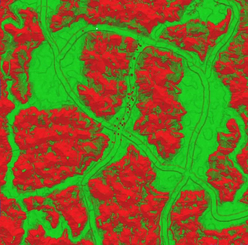
Players will start in either of the four corners. Wheeled vehicles will essentially be limited to the roadways (they look large in the layout but won't be quite that big), while tracked vehicles can go off-road in the valleys. The terrain, with its tight bottlenecks and limited access, can be easily fortified with anti-tank guns and artillery hiding behind the hills. Players will have to advance with infantry, securing vital access points and strategically important locations, before armour can be used safely.
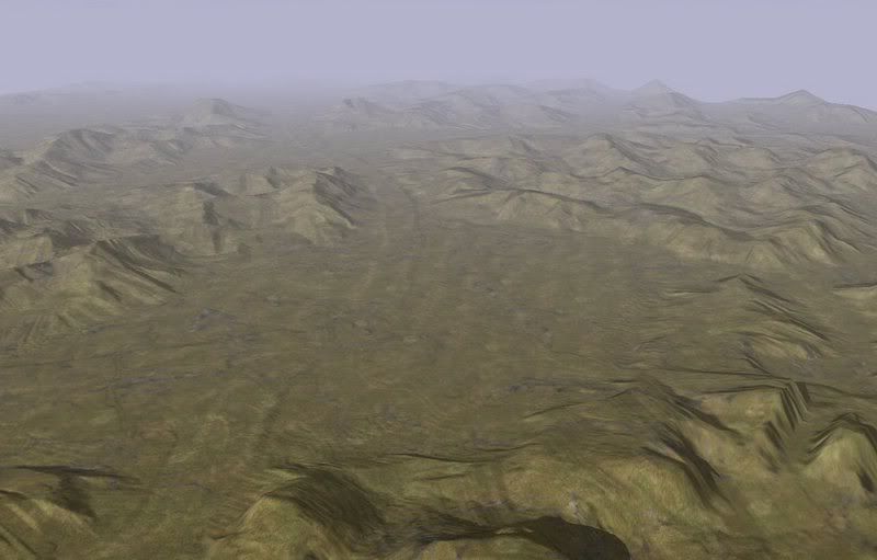
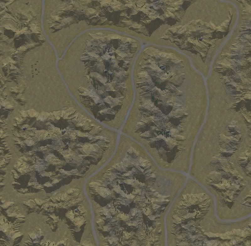
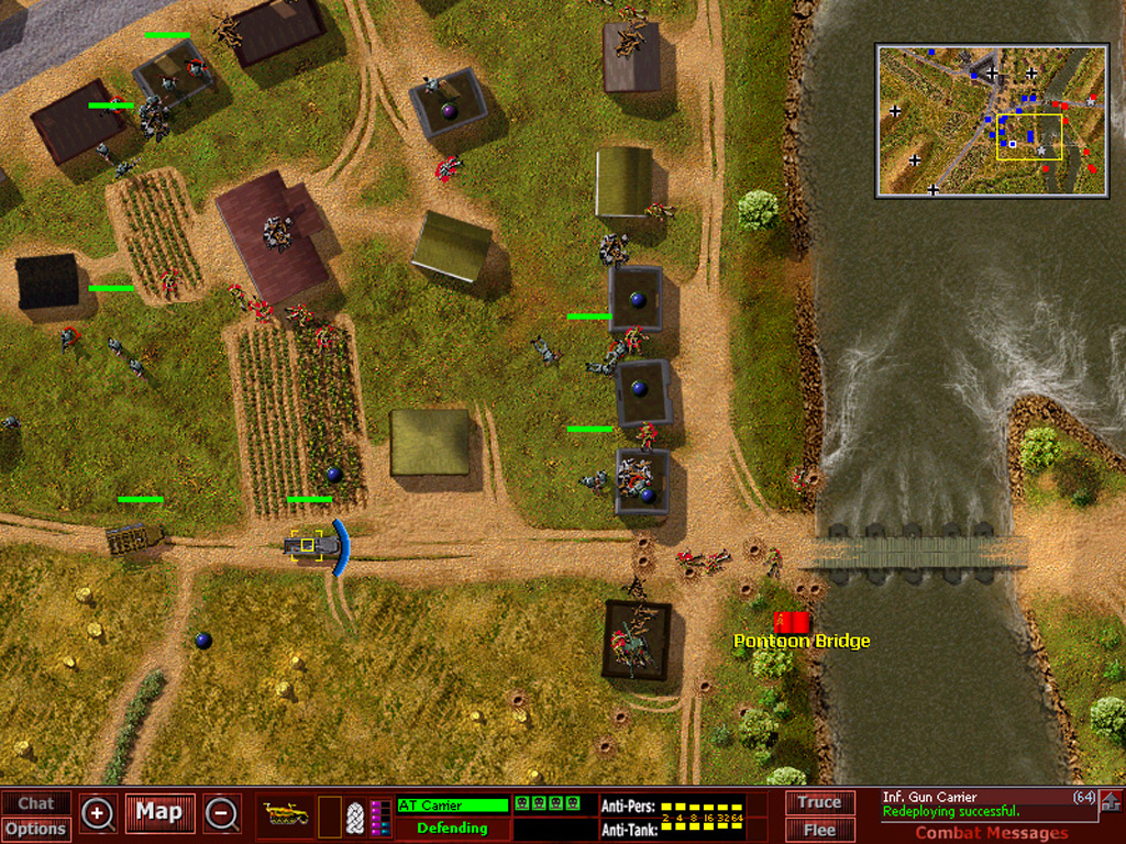
Here's a WIP pic:
Map size is 18x18 -- heavier artillery (the Allies in Italy called it the "Anzio Express" after troops in Anzio spent weeks within range of German artillery) will be able to reach halfway across the map, requiring players to move out and secure ground lest their bases be bombarded from a distance. The foothills will be dominated by infantry and will provide excellent fields of fire for defensive positions. As for Control Points, I'm thinking of giving each starting location one or two points, having one or two points in the smaller center valley, and 2-4 points in each of the larger valleys (in the North-West and South-East). Although maybe i will concentrate them in the center valley.. because of its location, anyone who controls it will effectively be able to rain artillery down anywhere in the map, making it probably the most important location in the game. Either that, or a no-man's land. I tried to make the map interesting whether 2v2, 3v3 or 4v4, with lots of different routes and tactical possibilities. Well, we'll see.


